
Geographic Information Systems (GIS)
Geographic Information Systems (GIS) solutions collect, store, analyze, and visualize spatial data. They integrate diverse datasets to reveal geographic patterns and trends. Essential for urban planning, environmental management, and resource allocation, GIS provides advanced mapping and analytical tools for strategic decision-making and problem-solving.
Our Solutions :
Mapping and Visualization
Create visual data representations on maps, helping to identify spatial patterns and trends. Essential for urban planning, environmental monitoring, and resource management, this process enables clear, insightful decision-making by providing an intuitive understanding of complex geographic data.
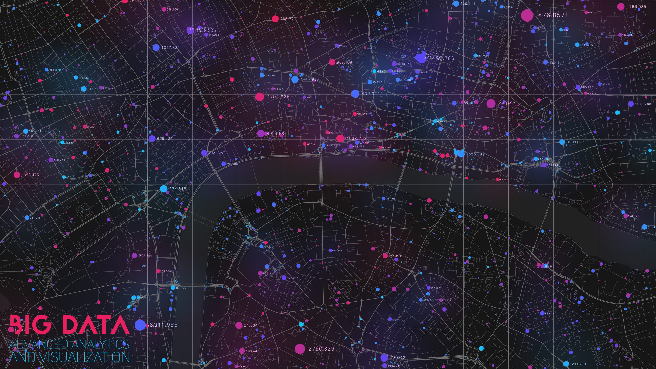
Spatial Analytics
Analyzing geographic data to identify patterns, relationships, and trends. It combines statistical analysis with geographic information systems (GIS) to provide insights for decision-making in urban planning, environmental management, and resource allocation. This approach helps organizations understand spatial dynamics and optimize their strategies and operations.
3D GIS
The use of three-dimensional geographic information systems to visualize and analyze spatial data in a realistic and immersive manner. It enhances traditional GIS by adding depth, enabling detailed modeling of terrain, buildings, and infrastructure, and supporting applications in urban planning, environmental studies, and disaster management.
Field Operations
Managing and coordinating activities performed outside a central office, such as inspections, maintenance, and data collection. These operations are crucial for industries like utilities, construction, and logistics, ensuring efficient resource allocation, real-time communication, and accurate reporting to enhance productivity and service quality.
Imagery and Remote Sensing
Capturing and analyzing images of the Earth's surface from satellites or aircraft. This technology provides detailed, up-to-date information for applications such as environmental monitoring, agriculture, and urban planning, enabling accurate assessments and informed decision-making based on observed changes and patterns.
Data Collection and Management
Gathering, storing, and organizing data for analysis and use. This process ensures data accuracy, accessibility, and security, supporting informed decision-making and efficient operations. It is essential for various fields, including business, research, and government, to maintain reliable and valuable data resources.